The ECRP works across a landscape of diverse land ownership and management. Below are links and information about existing land and recreation planning and management in the Upper Yakima Basin organized by management agency.
Washington Department of FIsh and Wildlife (WDFW)
The WDFW manages the Wenas, Oak Creek, Colockum, and LT Murray Wildlife areas in the Upper Yakima Basin. Additionally, the WDFW manages the water access sites offering boaters and bank fisherman access to lakes and waterways.
WENAS WILDLIFE AREA
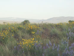
The 105,460-acre Wenas Wildlife Area, southwest of Ellensburg in both Yakima and Kittitas counties, is managed as one unit.
2006 Wenas Wildlife Area Management Plan
2017 Wenas Wildlife Area Target Shooting Advisory Committee: Report and Recommendations
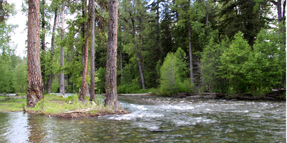
Oak Creek Wildlife Area
The Oak Creek Wildlife Area covers 67,100 acres in Yakima and Kittitas counties, about 15 miles northwest of Yakima. The Washington Department of Fish and Wildlife (WDFW) first acquired land in the area in 1940 to provide a home for the growing Yakima elk herd that was conflicting with private landowners, orchard growers and livestock producers. The Wildlife Area is broken into the 3 Management Units:
Colockum Wildlife area
The 105,662 acre Colockum Wildlife Area is located between the city of Wenatchee in Chelan County and the city of Ellensburg in Kittitas County. Managed as one unit, WDFW owns 73,199 acres, the Washington Department of Natural Resources (DNR) owns 21,440 acres, and the U.S. Bureau of Land Management (BLM) owns 11,023 acres managed by WDFW through a Memorandum of Understanding.
L.T. Murray Wildlife Area
The L.T. Murray Wildlife Area covers 106,400 acres in four units that lie both west and east of Ellensburg in Kittitas County. The Wildlife Area is broken into 4 Management Units:
Water Access Sites
There are 14 water access sites managed by WDFW in Kittitas County and 18 water access sites in Yakima County.
Washington Department of Natural Resources (DNR)
The DNR manages the Teanaway Community Forest, the Ahtanum State Forest, the Naneum Ridge State Forest, and the Selah Cliffs Natural Area Preserve in the Upper Yakima Basin.
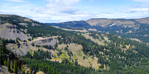
Teanaway COmmunity FOrest
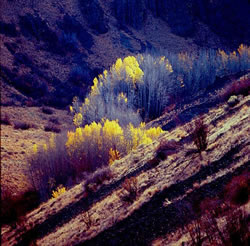
The Teanaway Community Forest demonstrates how conservation, sustainable forestry and community partnership goals can be achieved. This beautiful 50,241-acre landscape lies at the headwaters of the Yakima Basin watershed. The state purchased the land in 2013 with funding provided by the Legislature and established Washington’s first state-owned community forest. The forest contains nearly 400 miles of free-flowing streams and prime habitat for fish and wildlife. It has a history of grazing and timber harvests and offers unique recreation opportunities.
The Department of Natural Resources (DNR) is collaboratively managing the Teanaway Community Forest with Washington Department of Fish and Wildlife (WDFW) with significant public input from a community-based advisory committee.
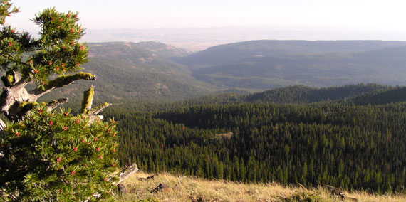
Ahtanum State Forest
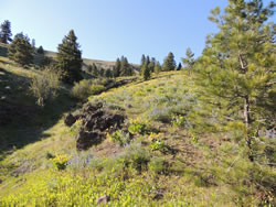
The 75,000-plus acre Ahtanum State Forest, located in Yakima County, is a working forest managed by the Department of Natural Resources (DNR) to provide sustainable revenue in support of public services. Timber production, biomass byproducts, communication tower leases, and other activities help to fund local services, prisons, universities, and the construction of public K-12 grade schools throughout Washington.In addition to earning income, Ahtanum’s undeveloped working lands provide habitat for native plants and animals, water retention and quality benefits, and diverse recreation opportunities.
Naneum Ridge State Forest
The 71,500 acre Naneum Ridge State Forest, located south of Wenatchee primarily in Kittitas County and near the Milwaukee Road Corridor, is a working forest managed by the Department of Natural Resources (DNR) to provide sustainable revenue in support of public services. Timber production, communication tower leases, and other activities help to fund local services, prisons, universities, and the construction of public K-12 grade schools throughout Washington. In addition to earning income, Naneum Ridge’s undeveloped working lands provide habitat for native plants and animals, water retention and quality benefits, and diverse recreation opportunities.
Forest Plan: Naneum Ridge to Columbia River Recreation and Access Plan
Selah Cliffs Natural Area Preserve
Selah Cliffs Natural Area Preserve (NAP) was established in 1993 to protect the largest known population of basalt daisy (Erigeron basalticus), a state-listed threatened species known from only a 10-mile stretch of the Yakima River Canyon. The basalt daisy makes its home on the basalt cliffs of the site where few other plants can grow, rooting into cracks and fissures on the rock faces. The daisies are typically in bloom May through October, with a peak in June. The cliffs, much of which are covered by colorful lichens, also provide nesting and roosting habitat for raptors including prairie falcons, red-tailed hawks and kestrels.
US BUREAU of Land Management (BLM)
The BLM manages the Yakima River Canyon in the Upper Yakima Basin.
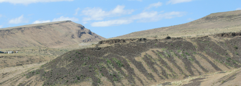
Yakima RIver Canyon
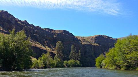
The gentle Yakima River winds through rolling desert hills and basalt cliffs, some rising more than 2,000 feet, for 27 miles between Ellensburg and Yakima, Washington. The canyon offers excellent wildlife watching, fishing for Blue Ribbon trout, family-friendly rafting, and camping. The canyon’s crevices and cliffs make a perfect home for the densest concentration of nesting hawks, eagles, and falcons in the state. The BLM manages over 9,000 acres in the Yakima River Canyon area, and the Yakima River State Scenic Byway provides access to BLM’s four developed river access sites including Umtanum, Lmuma Creek, Big Pines, and Roza.
Yakima River Canyon Scenic Scenic Byway: Corridor Management Plan
Okanogan-Wenatchee National Forest: Cle ELUm Ranger District
Okanogan-Wenatchee National Forest: Naches Ranger District
Confederated tribes and bands of the yakama Nation
Yakima COunty
Yakima County 20-Year Comprehensive Plan: Chapter 8 Parks and Open Space
Yakima County Trails Plan 2014
Kittitas County
Kittitas County: Yakima River Public Access Plan
Kittitas County, Washington Park, Recreation & Open Space (PROS) Plan
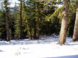
Washington State Parks and Recreation Commission
The Washington State Parks and Recreation Commission manages the winter snow parks system as well as Lake Easton State Park, the Palouse to Cascades State Park, and the Yakima Sportsman State Park in the Upper Yakima Basin.
US Bureau of Reclamation
The US Bureau of Reclamation manages the Bumping Lake Dam, Cle Elum Dam, Kachess Dam, Keechelus Dam, Easton Diversion Dam, Tieton Dam on Rimrock Lake, and the Roza Diversion Dam in the Upper Yakima Basin.